What the AIS 140 tracking software does
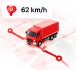
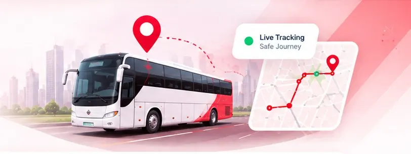
- Live location, speed and heading of every vehicle on a map
- Instant alerts when a panic button is pressed
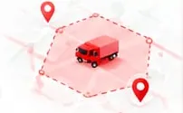
- Geofences with alerts when vehicles enter or leave an area
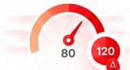
- Overspeed, power cut and tampering alerts
- Trip history and route playback
- Reports on distance, stops, idle time and alerts
How the AIS 140 GPS tracking system fits together
The AIS 140 device in each vehicle sends its location over the mobile network. Data goes to the state transport department's monitoring backend, as AIS 140 requires, and to your tracking software, so you have the same live view your control room needs. Alerts reach you on the dashboard and, for emergencies, reach the authorities too.